Flood view software package (Software Technical Approval No. 203471)
It's a tool for flood simulation and warning. Structure of the model is customized for Iran's climate. It has tested on more than 10 deferent climate areas and had good performance. This tool also performs systematic simulation.Specifications: Flood View
1-Designed and implemented on an integrated geographical database.

2-Under network and supported by time series, models, images and maps database server.
3-Software for simulating runoff caused by precipitation and snow melting.
4-Defines and saves all the information of rainfall-runoff model and its setting assumptions in database.
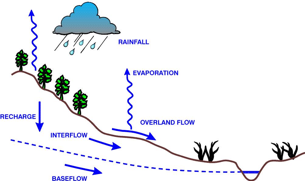
5-The model of rainfall-runoff is prepared from the type of soil moisture accumulating, with four reservoirs from the group of NAM, which includes storing and snow melting reservoir.
6-All information used by the model rely on the objects that are defined in the database, which minimizes the required space for storing assumptions and model input, and makes it easier to update the model by updating the information of stations.
7-Simulation for time continuous.
8-Meteorological data can be used for precipitation, evaporation and temperature.
9-The physiographic data is used by altitude point model. The rest of required information is automatically calculated in the software.
10- Simulates on hourly, daily and monthly time base.
11- The software is equipped with a strong search engine based on SCE genetic algorithm and is able to automatically calibrate all parameters of the simulation model including the parameters of each reservoir, the participation factor of each station, the altitude gradient factors of temperature and precipitation, the parameters of storage and snow melting model and Muskingum Cunge Routing Model factors, simultaneously for three intervals.

12- Saves the final and semifinal results of calibration and validation process of the model parameters in database; this feature can improve team working on development of models in organization.
13- The whole stages of modeling will be performed in a geographic database environment, where the relationship between information of stations and control of existence of data needed for the selected time interval is easy to accomplish.
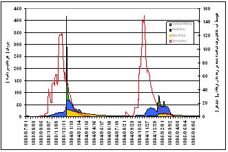
14- Displays the middle and final results of each calibration, validation and simulation process in form of table and chart with ability to zoom, print and transfer to the outside of the program.
15- Simultaneously displays the precipitation data and hydrograph of the water meter station in a horizontal slider form for necessary examinations, important times and occurred floods.
16- Calculates the automatic calibration of temperature and precipitation altitude gradient at the watershed.
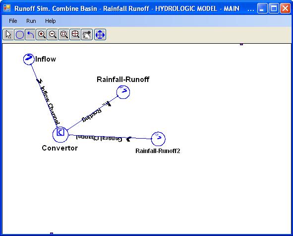
17- Simulates compound basins including rainfall-runoff and hydrological routing of the river, in different composition.
18- Defines controlling structures such as reservoir and regulating dams in mixed rainfall- runoff simulation, operating instructions and Muskingum Cunge routing in large systems.

19- Usability in flood prediction if there is a weather forecast including rainfall, evaporation and temperature in the studied area.
20- Defines, stores and follows instructions to operate control structures in VBA language in software environment, for all objects which are defined in station of water structure type.
21- Defines and saves time series of water withdrawal values in the system and include them in simulation results.
22- Displays all the results of implementation of simulation system, in table and diagram.
The following sub-systems make up the main components of Flood View Software:

1. A system for defining and storing simulation model and implementing mathematical model, using data stored in the database.
2. A system for physiographic calculations related to area and altitude of storage and snow melting model.
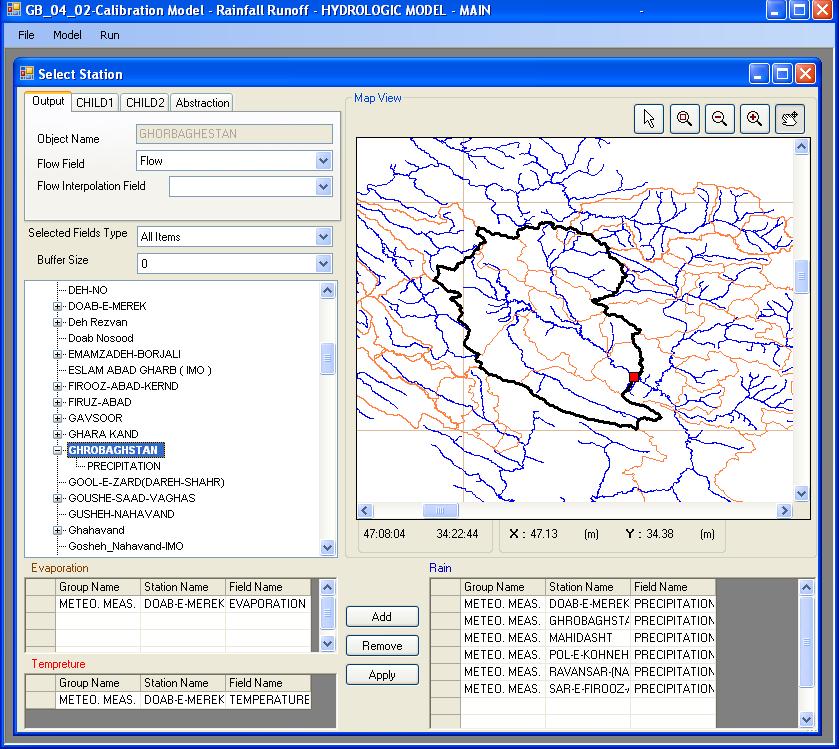
3. A system for selection of data stations that their information of precipitation, temperature, and evaporation, contribute to simulation of the model.
4. Automatic calibration system of model parameters based on historical observation
5. Validation system of model parameters based on historical observation
6. Dynamic Reporting System of GIS
7. Runoff simulation and forecasting system for user-selected time interval, using data stored in the database.
8. System for defining, storing and implementing simulation in compound basins including rainfall runoff, control structures and river hydrological routing.
